
Story and photographs by Christina Selby
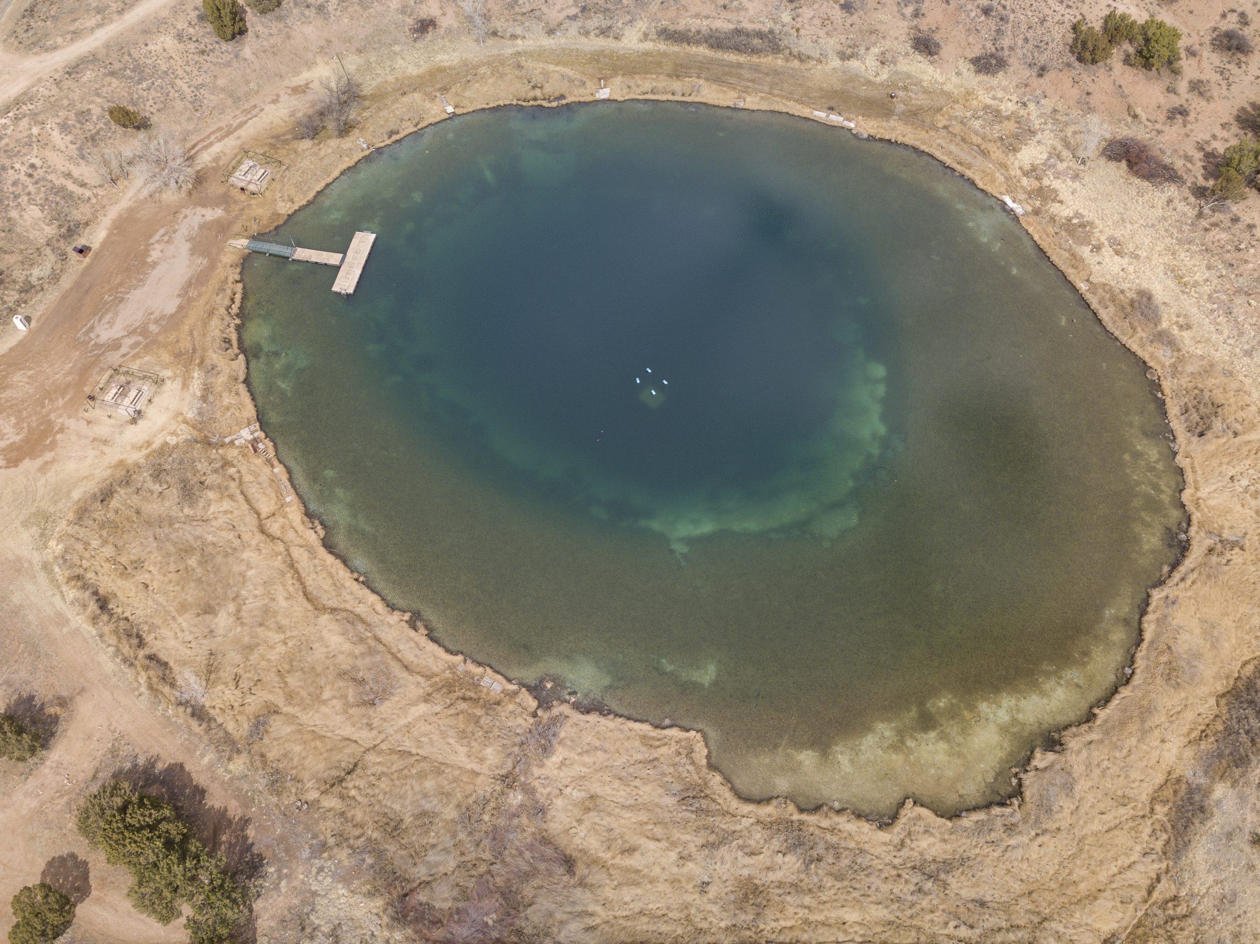
New Mexico isn’t known for its waters. Much of the state is hot, dry, and often dusty. But on a sunny July day, volunteers swarm around two small, round, turquoise-blue lakes in the central-eastern part of the state, swinging butterfly nets and dipping vials into the water. Though the Santa Rosa Basin, which includes these lakes, is a parched place, receiving only about 14 inches of precipitation annually, more than a dozen such spring-fed sinkhole lakes fill the basin, not to mention other springs and seeps. The 20 volunteers—mostly biologists—hope to tease out some answers to the mysteries that surround them.
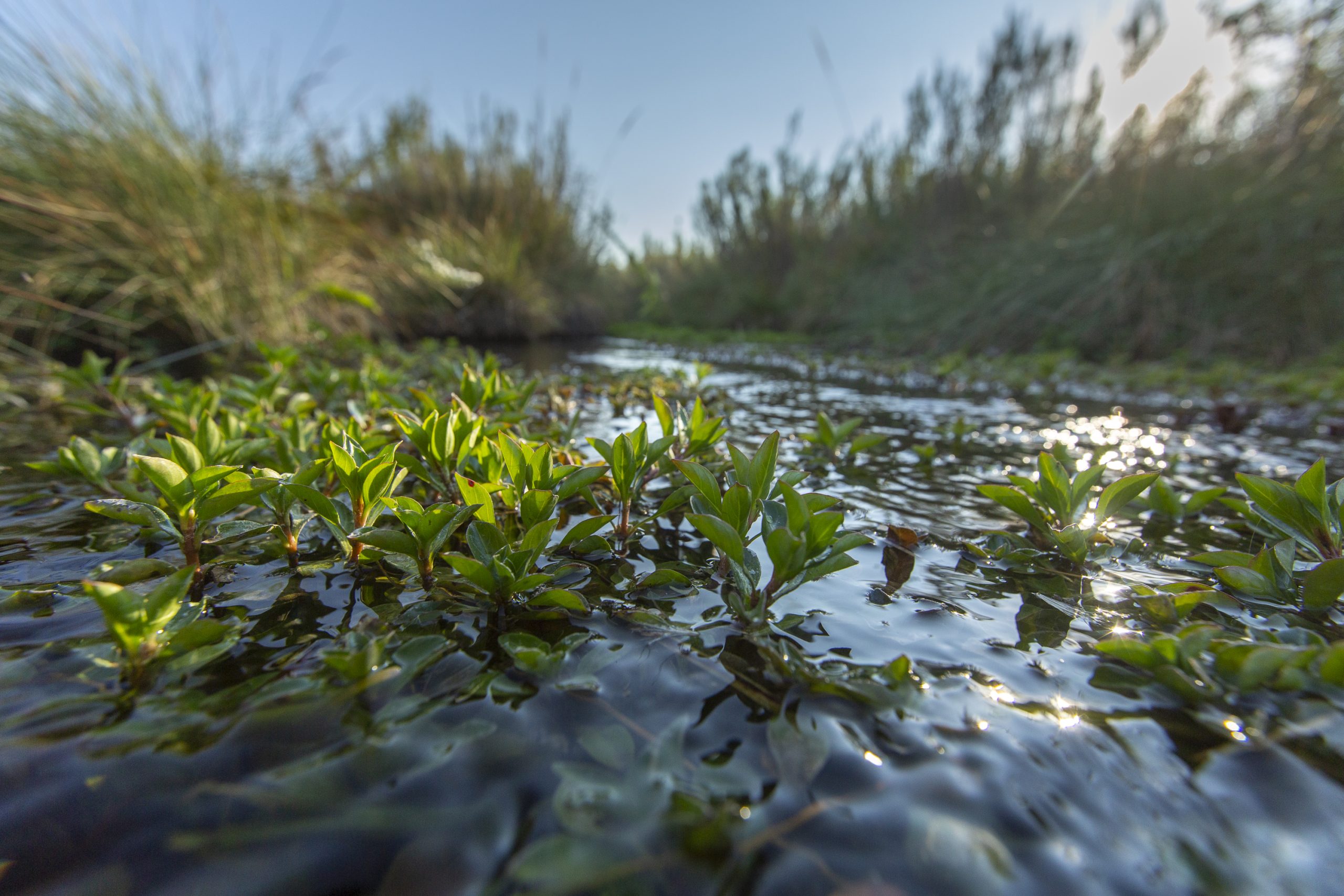
Arid-land springs are among the American Southwest’s most important and endangered ecosystems. They’re moments of cool, lush green amidst seas of sagebrush or cactus—literally oases in the region’s thirsty landscapes. Despite their importance, though, they’re poorly documented and face dire threats.
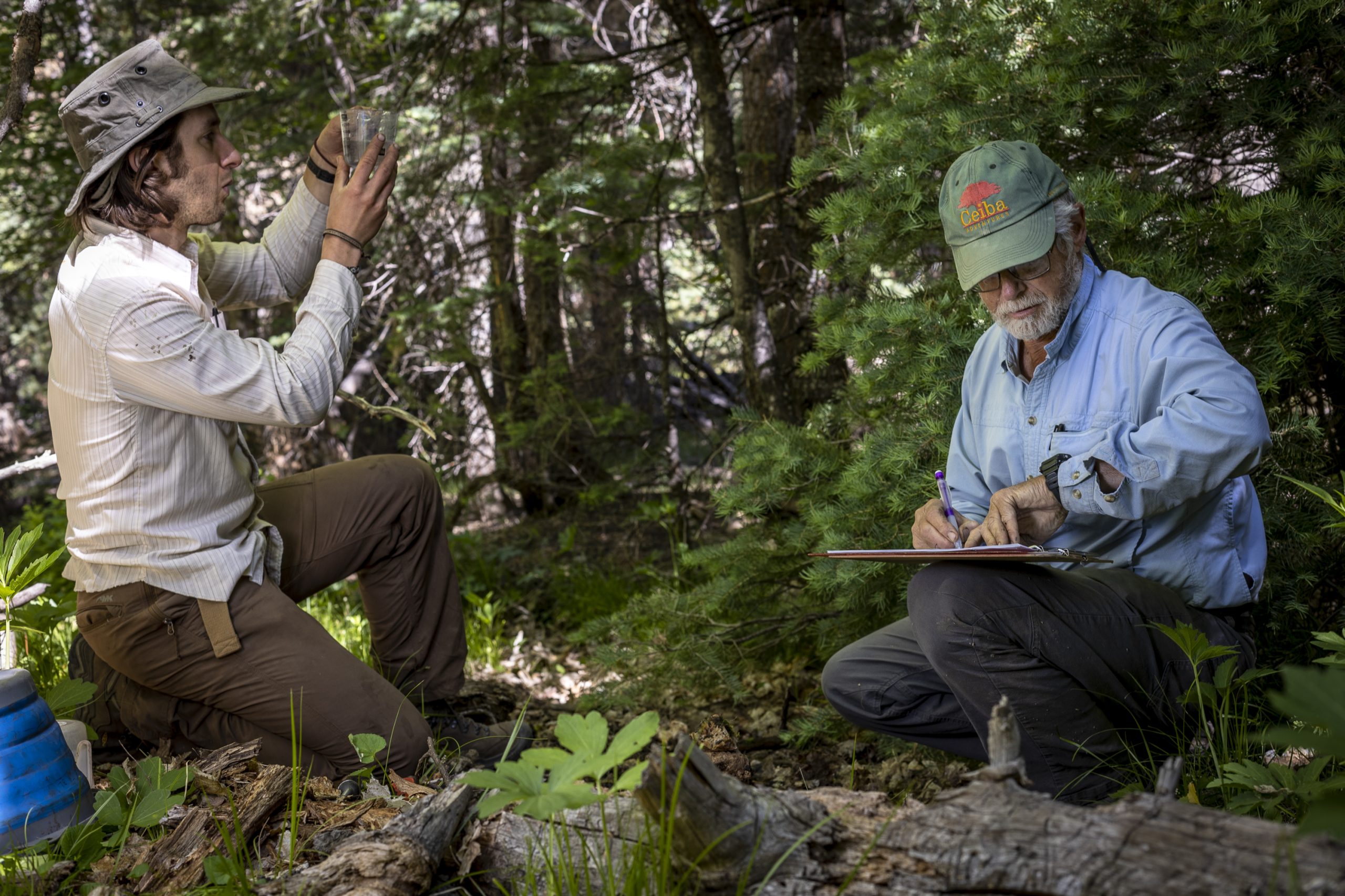
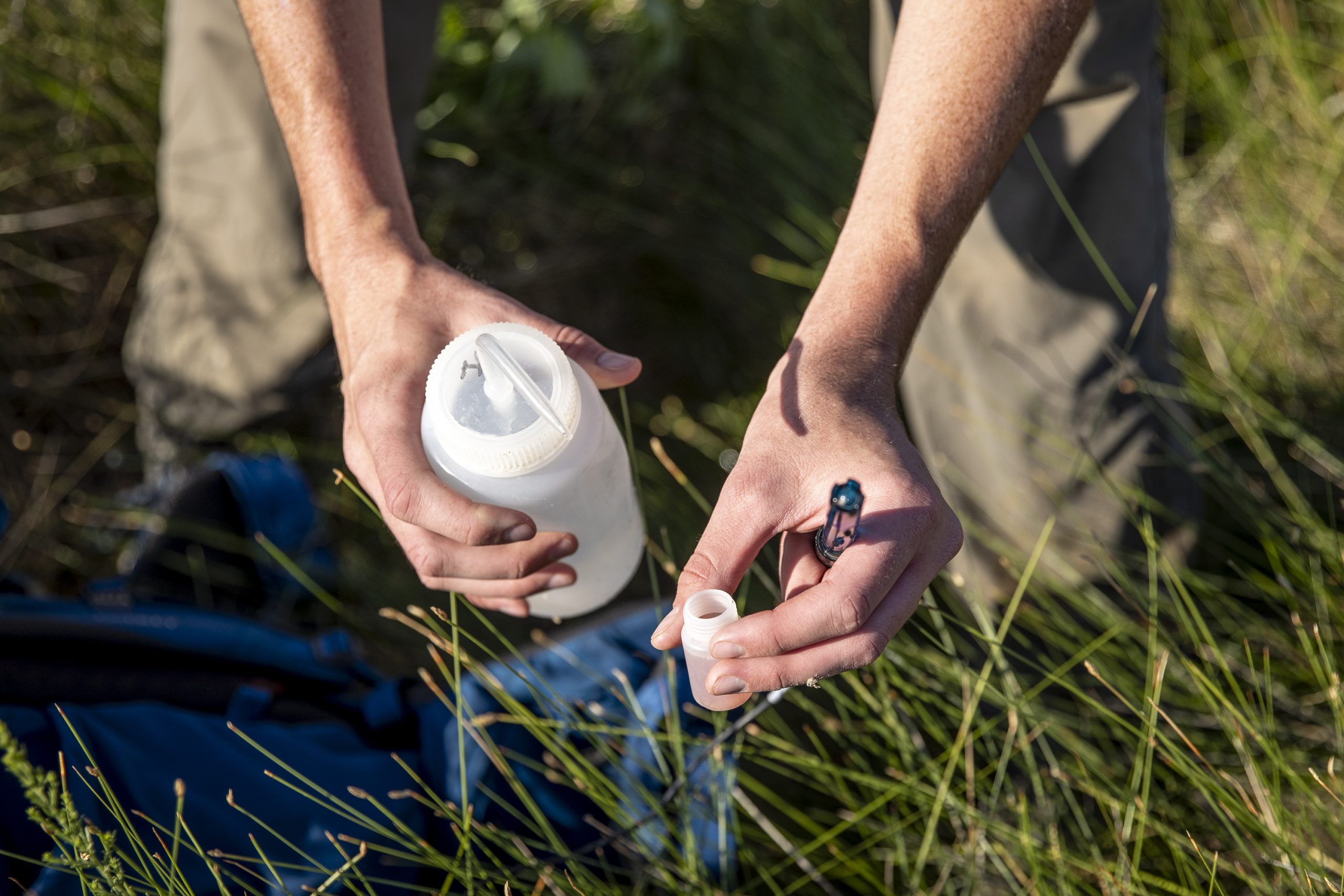
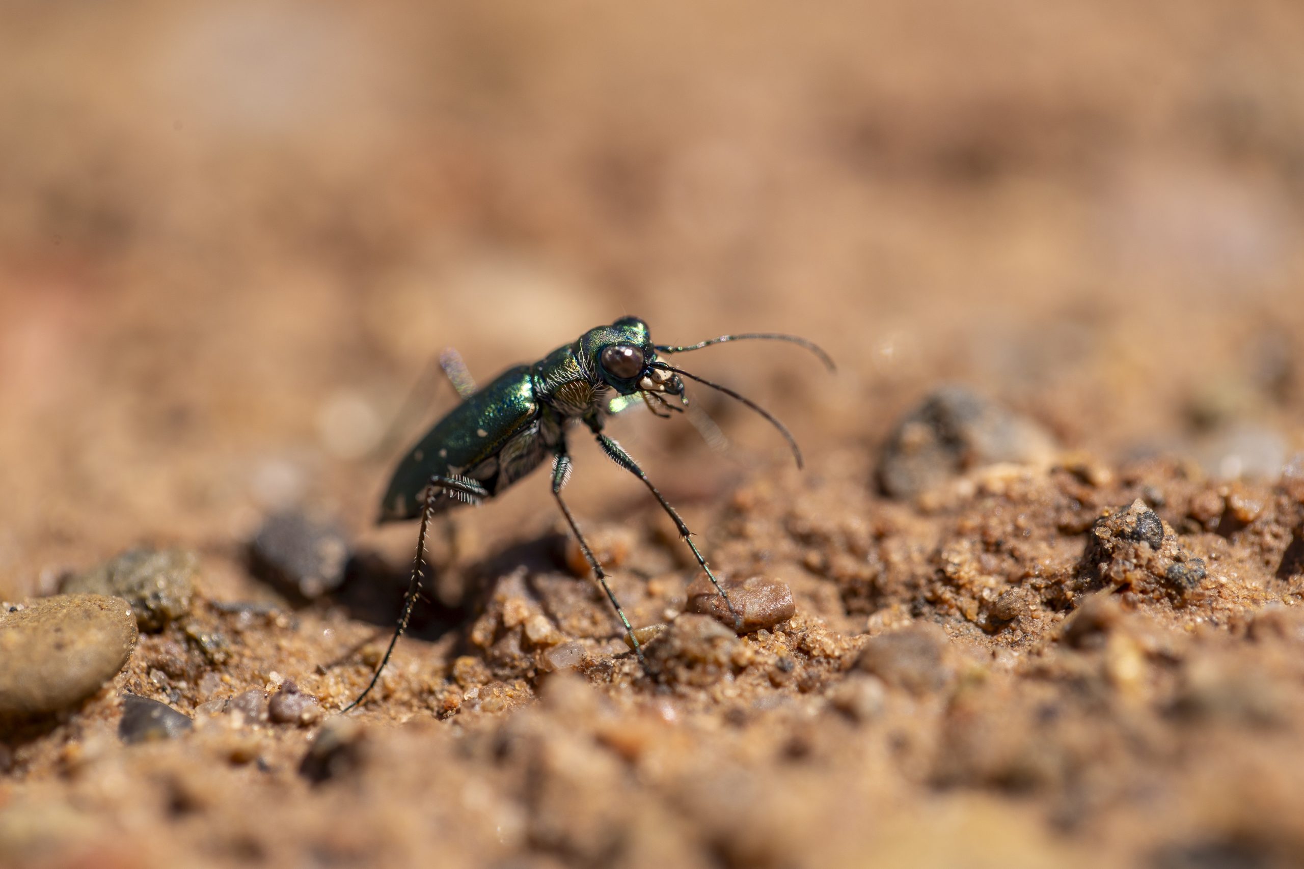
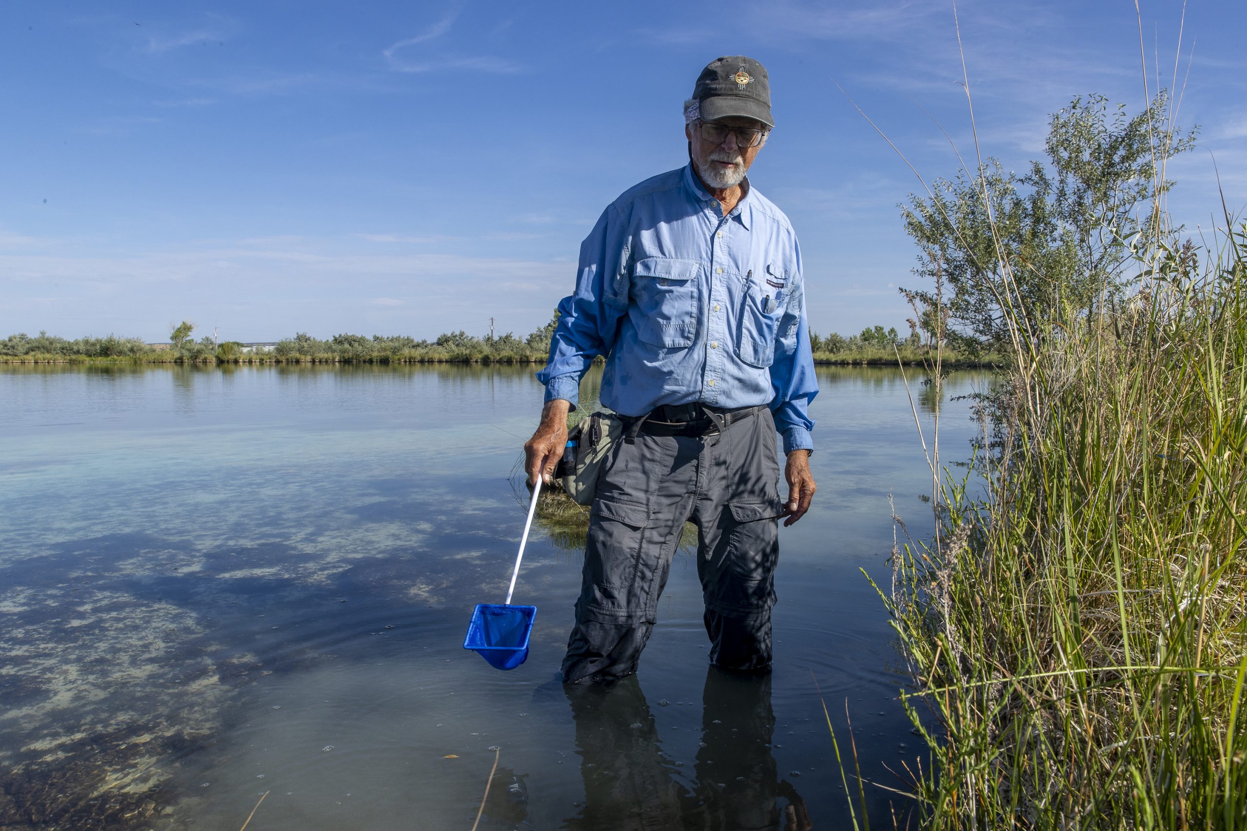
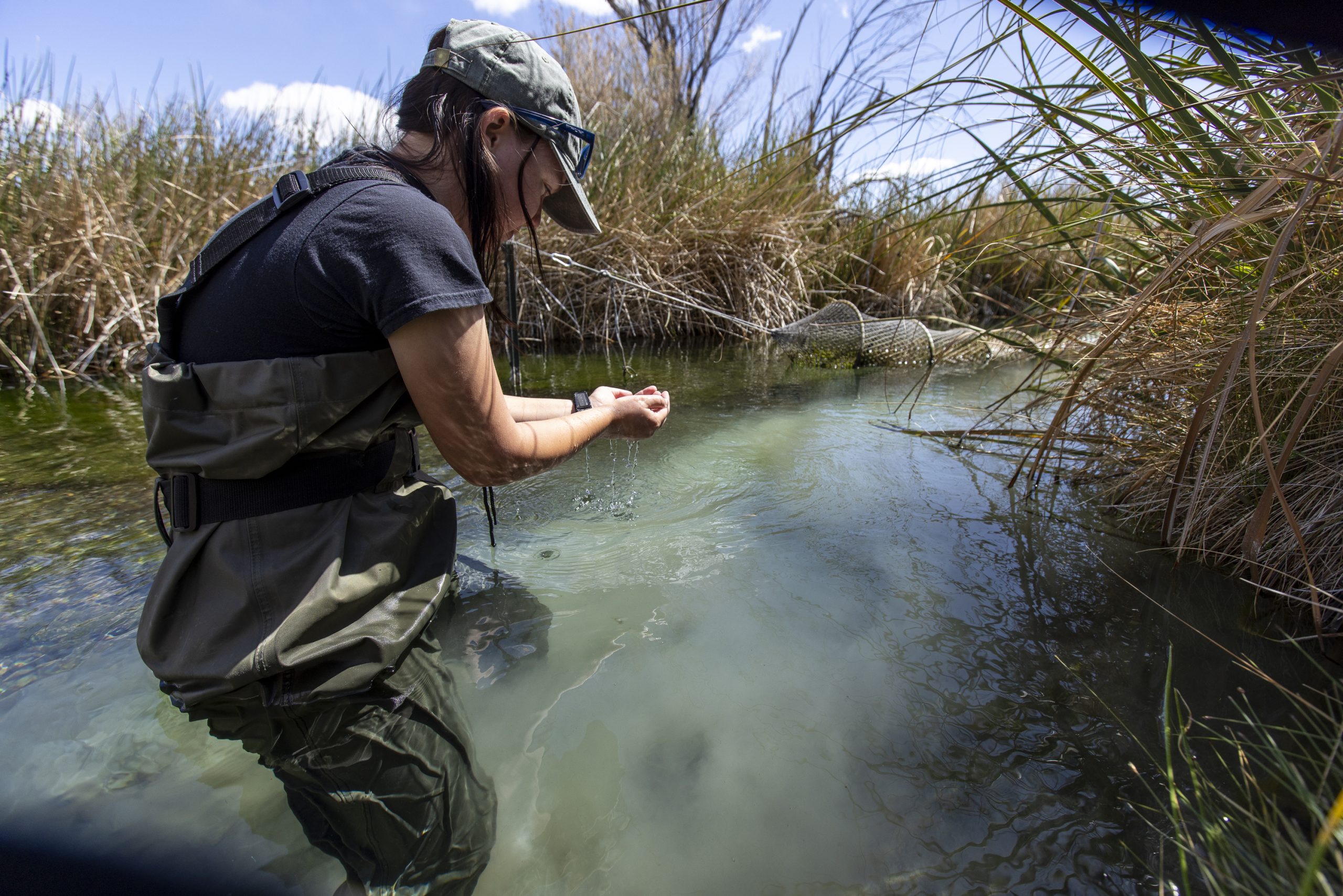
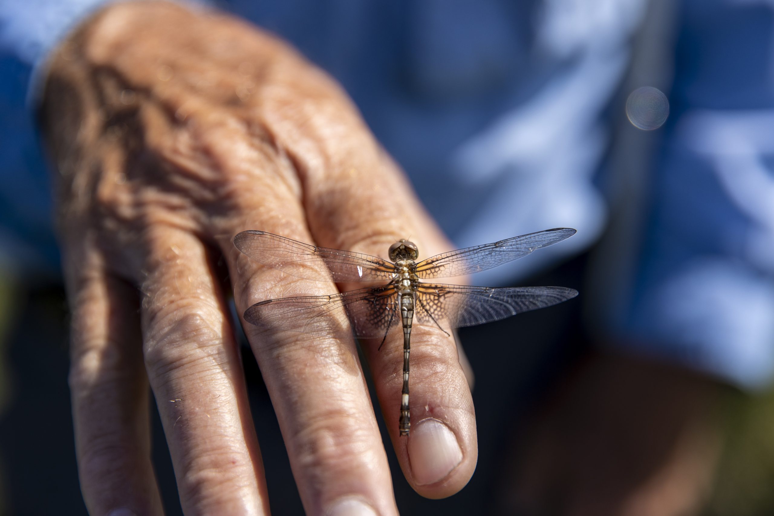
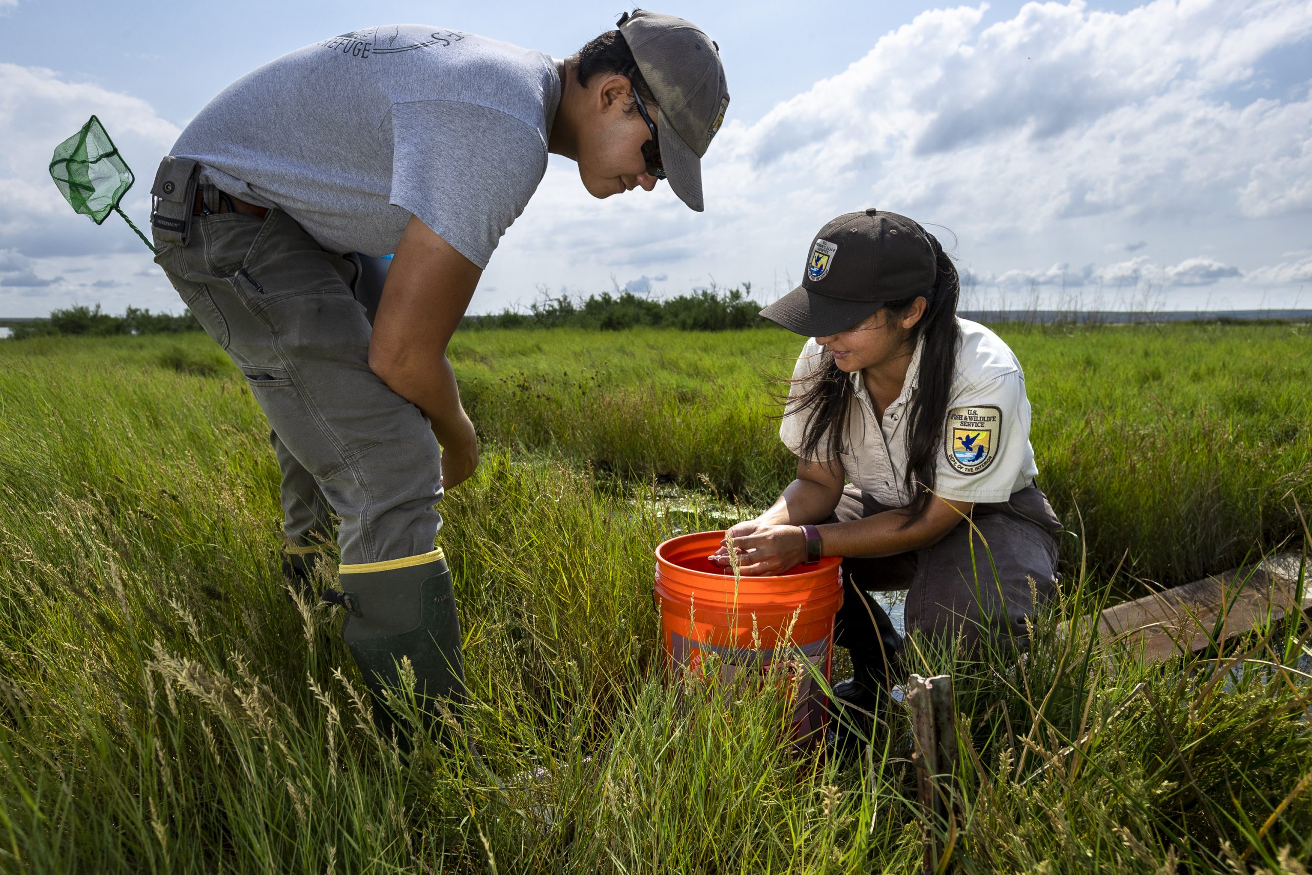
With their vials and cameras, the researchers fan out across the ciénega, a spring-fed wet meadow ecosystem unique to the Southwest, that surrounds the lakes. Their work is part of a four-day “bioblitz” intended to better document everything from what lives here to the quality and attributes of the water. An entomologist hunts along a red-dirt road for bright tiger beetles, a good indicator of biodiversity. A whoop erupts from across the lake as biologists find an Antillean saddlebags dragonfly, the first recorded sighting in the state. A retiree—New Mexico’s former state botanist, Robert Sivinski—points out grasses and plants at the lake’s rim that are remnants from the last ice age and generally only found hundreds of miles to the north. But they still cling to life here in this cool, wet refuge.
During and after the bioblitz, which took place throughout 2022, biologists visited many different types of spring ecosystems in the Santa Rosa Basin. A tally of some of their findings for that year includes 38 species of dragonflies and damselflies and eight types of tiger beetles, all important indicator species of biological diversity. Thirty-eight species of birds, including a pair of locally rare Mississippi Kites. The endangered Pecos sunflower. An endemic fish and amphipod. By July 2024, the ongoing tally had jumped to 396 species, including 106 plants, 129 invertebrates, 118 birds, 11 mammals, 9 reptiles and amphibians, and 23 fish. It was as if they were counting species in an ark.
Which, in a way, they were.
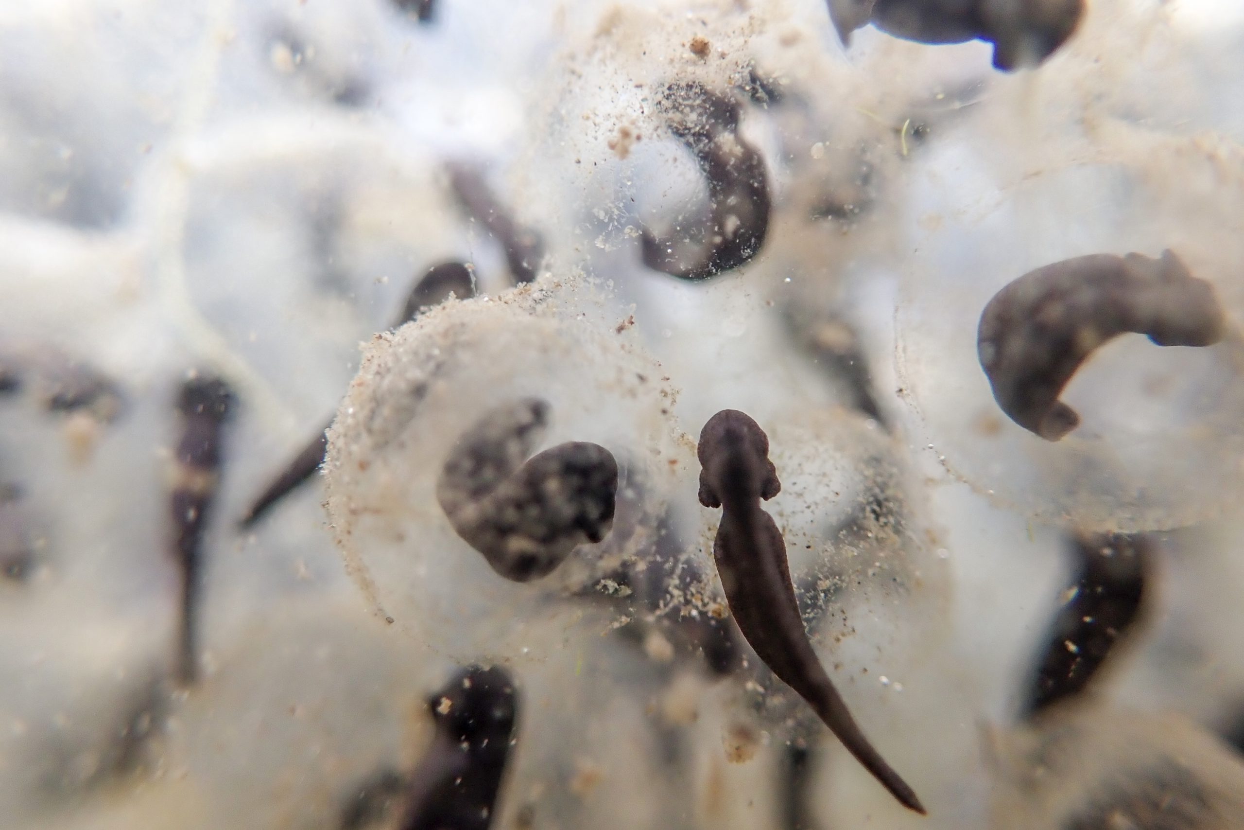
More than 60,000 springs pock the American West, from California’s Death Valley to the plains of West Texas. Though rivers and lakes contain more water in total, springs provide benefits far beyond their modest size. At least 10 percent of the country’s endangered species depend on freshwater springs for all, or part, of their lifecycle. Another 1,000 rare species in the U.S. depend upon springs—including plants, mammals, invertebrates, birds, frogs, and fish, some of whose home ranges are limited to individual springs, according to the Springs Stewardship Institute and its director, Larry Stevens. Taken together, these springs are crucial to global biodiversity, says Stevens, whose nonprofit institute promotes the scientific understanding and stewardship of spring ecosystems worldwide.
Like highway rest stops, springs help wildlife and humans move through a harsh environment by offering water, food, and shade. They’re essential stopovers for migratory birds and important watering holes for mammals, and also hunting and cultural sites for humans.
They also can be very fragile. Roughly 90 percent of the freshwater springs in some landscapes have been degraded by human activity. Culprits include groundwater pumping, water diversion, development, trampling from recreation and livestock grazing, and invasive species. Now comes climate change and forecasts for increased aridity and longer, hotter, more frequent droughts. This places added pressure on these ecosystems even as their role grows more crucial as refuges for flora and fauna.
There’s good news, though. “Springs are also one of the most resilient ecosystems,” says Stevens, whose institute also works with governments, tribes, and other nonprofits both to conserve and rehabilitate spring ecosystems. Stevens has had a hand in restoring about 15 large springs in the past decade and has consulted on the restoration of several dozen more, he estimates. So long as the water still flows, he says, even damaged oases can be brought back to life.
Nevada is the driest state in the country, and also home to the hottest place on earth: the Mojave Desert. And yet, unbelievably, at least 30,000 springs dot the state’s map. Ninety miles northwest of Las Vegas’s lights lies a place that captures both the promise of dryland springs and the perils they face. The Ash Meadows National Wildlife Refuge, the largest remaining oasis in the Mojave, is a complex of more than 50 springs, seeps, and sloughs. They’re fed by “fossil water”—ancient water—that spills from a deep aquifer at a rate of more than 11,000 gallons per minute.
That ancient water has been feeding these springs for up to three million years, creating what’s been called “a Galápagos in the desert.” The refuge is home to the second-highest concentration of endemic species in North America, providing habitat for at least 26 plants and animals found nowhere else in the world. A dozen of those species are either threatened or endangered. Migratory birds and mammals such as desert bighorn sheep stop to water at the springs. “Ash Meadows is one of the most unusual, unique, improbable landscapes on earth,” says Mason Voehl, executive director of the Amargosa Conservancy.
Yet this place was nearly lost a few decades ago. Homesteaders who began to arrive in the area in the late 1800s dramatically changed the landscape. They removed peat bogs, leveled dunes, built roads, replaced winding spring flows with concrete ditches, and diverted the water into giant reservoirs. Their efforts caused the spring-fed wetlands to cease to function, and contributed to the extinction of the endemic Ash Meadows killifish and Ash Meadows montane vole.
Starting in the 1950s, groundwater pumping for agricultural use and housing development—and the ensuing legal fight over its effects—drew attention to the wetlands and made a tiny fish famous: the Devil’s Hole pupfish. It’s a blue, thumb-sized fish that lives its entire life in one aquatic cavern filled with warm spring water. Conservationists argued that the pumping threatened the pupfish with extinction, and in 1976 the U.S. Supreme Court ruled that the pupfish had to be protected. The decision stopped groundwater pumping near Devil’s Hole. In 1984, the area was designated a National Wildlife Refuge, and soon afterward it was recognized as a Ramsar site, a wetland of international importance. The incremental, decades-long work of restoring the spring ecosystems began.
The refuge is now in the midst of the planning phase for one of its largest projects to date: restoration of hundreds of acres of habitat fed by nearby Crystal Spring. Over the next few years, crews will decommission Crystal Reservoir and remove irrigation channels and dikes no longer in use. The goal is to bring back the former water flows and natural habitats: wet meadows, emergent marshes, alkali flats, and riparian zones. According to the project’s funding proposal, biologists believe that the restoration effort will benefit endangered species that still live in the area, like the Ash Meadows Amargosa pupfish (Cyprinodon nevadensis mionectes) and the Amargosa niterwort (Nitrophila mohavensis), a perennial herb that resembles a succulent. The refuge also plans to reintroduce species such as the endangered Ash Meadows speckled dace (Rhinichthys osculus nevadensis), a fish that once lived in Crystal Spring.
Even as restoration inches forward, however, a new threat has appeared. Nevada has become a hotbed of lithium mining for use in electric-vehicle batteries, spurred in part by President Biden’s clean energy initiatives. In 2023, a Canadian mining company, Rover Critical Metals, proposed exploratory drilling just 1,500 feet from the refuge’s northern border. If Rover hits a pocket of pressurized groundwater when it drills any of its proposed boreholes, it could dewater the nearby springs, claims Voehl of the Amargosa Conservancy. “It would basically pop the balloon,” he says, and would permanently alter the groundwater flow through the refuge.
The BLM rescinded its approval after the Amargosa Conservancy, tribal and rural residents, and a coalition of nonprofits filed a lawsuit in July 2023 opposing Rover’s mining plan. The agency also rejected a second, slimmed-down version the company submitted in December 2023. Though Rover hasn’t submitted another plan or conducted any exploratory drilling near the refuge’s northern border, the company has since staked nearly 8,000 new mining claims in the Amargosa Valley, some near the border of Death Valley National Park atop groundwater flow paths—underground watercourses—that sustain the area’s springs. It has also posted images on its website of plans for open-pit mining in the area, which is known to produce waste and by-products that degrade water quality. The Amargosa Conservancy and its coalition are now asking the Department of the Interior to consider designating those lands off-limits to mining claims—a process known as a mineral withdrawal—in order to preserve the area’s sensitive spring ecosystems and species.
Groundwater gives springs life. And groundwater is enormously important to us, too: It’s the source of one quarter of all water used by humans on earth. But groundwater has been called a “black box.” We can’t see it, and our understanding of this crucial resource is often clouded in mystery. Springs can help us look inside that box, help scientists figure out how water flows, and tell them about the quality and health of the groundwater and aquifers they are connected to. Knowing these things can lead to better conservation. “Springs,” says Stevens, “are windows into the Earth.”
The ultimate laboratory for understanding groundwater is Arizona’s Grand Canyon, thanks to its exposed geological layer cake and more than 1,400 springs that dot its walls. Since the 1970s, hydrologists have worked to piece together the complicated puzzle of the canyon’s “native water”—the water that occurs naturally in a watershed.
Groundwater begins as snow or rain and soaks into the ground between rocks, through cracks, and into deep soils and other porous surfaces. Once underground, water often takes a rollercoaster ride as it flows deeper into the canyon—sometimes slowly and sometimes rapidly, with unexpected twists, turns, and drops. How far the water travels, and what direction it takes, depends on the solubility of the rock layers and how many fissures, cracks, and fractures exist. Researchers try to map the subterranean trails that water takes (known as “flow path”) by, among other methods, hiking hundreds of miles to remote sinkholes where snowmelt accumulates, then dropping non-toxic dyes into the water to see where it finally emerges.
The water source getting the most attention at the moment is Roaring Springs, a network of three springs that lies roughly 3,600 feet below the canyon’s North Rim. It’s hard to overstate the importance of Roaring Springs to Grand Canyon National Park: It has been the sole source of drinking water for more than six million people who visit the park annually, as well as for resident employees and their families. But the aging pipeline that pumps the water back to the canyon’s rims and throughout the park was built in the 1960s and is rapidly deteriorating.
Starting this year, the park will undertake a large and complex infrastructure project, replacing the pipeline with a new one that will collect water from a creek that’s fed by many North Rim springs. The idea is to reduce the park’s reliance solely on Roaring Springs. But all of the springs of the Grand Canyon face a variety of threats: groundwater pumping, livestock grazing, pollution from uranium mining and other contaminants, destruction by introduced bison, and also drying due to a warming climate and declining snowpack. With a limited budget and labor pool, it’s critical for park managers to understand which springs to prioritize for protection and where that water originates. In recent years, Northern Arizona University hydrogeology professor Abe Springer and a cadre of graduate students have been working to understand the hydrology of springs on the Grand Canyon’s North Rim that will feed the park’s new pipeline. They want to map the sources of the springs’ water (mainly some 7,000 sinkholes across the Kaibab Plateau) and the water’s flow path to where the springs emerge.
Mapping the source and flow path of the Grand Canyon’s 1,400 springs “might take a few generations to answer because of the size, complexity, and challenges of doing this kind of work in the park,” says Springer. But the insights gained here will help scientists understand groundwater and the sustainability of aquifers in similar arid landscapes across the globe. Hydrological studies here are refining and improving the methods and tools used to determine the age and amount of water discharging from springs, and how, when, and where aquifers are recharged—essential information at a time when decision-makers face increasingly difficult choices about water management in arid places.
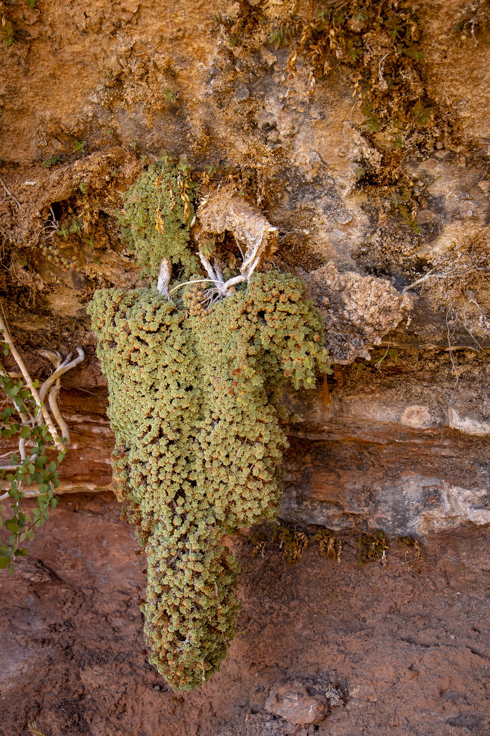
A few hundred miles away in Bears Ears National Monument, Arnold Clifford enters a shady alcove at the foot of a towering sandstone bluff and pushes aside some branches like a curtain. A sort of secret hall reveals itself, with luxuriant green plants that cling to the vertical wall in the shade, fed by a slow trickle of water. It is a hanging garden.
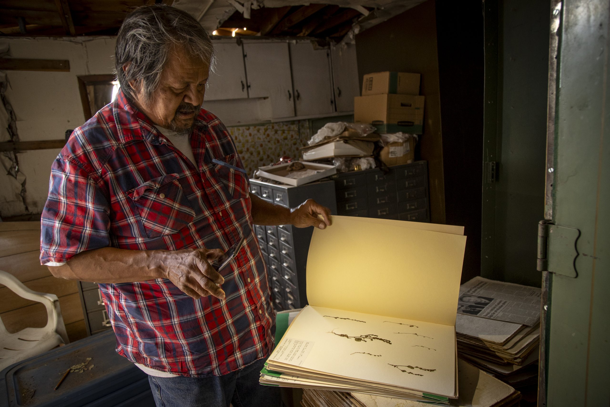
Here in the sun-blasted Four Corners region of the Southwest, an unusual type of spring makes possible these tiny, rare ecosystems that play important roles for the Navajo. Clifford, a Diné cultural ethnobotanist who’s studied and collected the flora of the Navajo Nation for more than 30 years, points out the unique plants growing on the wet wall. At the bottom, just above the sand, leaves of cave primrose (Primula specuicola) form a grayish green strip that lights up the wall with bright pink blooms each spring. Above that, deep green Eastwood’s monkeyflower (Mimulus eastwoodiae) takes over: migrating hummingbirds adore its scarlet flowers. Maidenhair ferns (Adiatum capillus-veneris) hold tenuously to the cliff face. Clifford points out alcove columbine (Aquilegia micrantha), Bridges evening primrose (Oenothera longissimi), and helleborine (Epipactis gigantea). About 25 species endemic to the Colorado Plateau are associated with hanging gardens, each garden an association of plants adapted specifically to that place. And yet, just five feet away from the wall, dry and prickly desert plants take over.
These hanging gardens begin when snow accumulates on top of the bluff. As it melts, it seeps into the permeable rock layers and forms a small, “perched” aquifer that sits above the water table. When the percolating water hits an impermeable layer, it travels sideways and out the bluff face, where the dripping water creates conditions for a unique, vertical ecosystem to thrive. They’re “well-watered islands in an ocean of drought,” as Utah-based botanist Stanley Welsh wrote in a 1989 account.
Unlike the springs in Santa Rosa, Grand Canyon, and Ash Meadows, these hanging gardens don’t have a deep aquifer of ancient water to rely upon. They’re dependent on snow that melts slowly, giving the water time to seep into the sandstone and recharge the aquifer. (Rain tends to run off quickly and not percolate into the rock layers.) Declining snowpacks in a warming West threaten this type of spring-fed ecosystem. These may be the first springs we lose.
That’s not the only pressure on hanging gardens. They are also prime spots for illegal harvesting. Clifford points to an empty area on the wall where people have removed shovelfuls of plants for private gardens. Plant collection has depleted these sensitive populations across the Colorado Plateau. At the bottom edge of the garden, livestock have trampled the soil in search of water. The gardens naturally erode as the rock layers dry and peel off, and then slowly recolonize again. But human pressures cause erosion that outpaces natural regeneration.
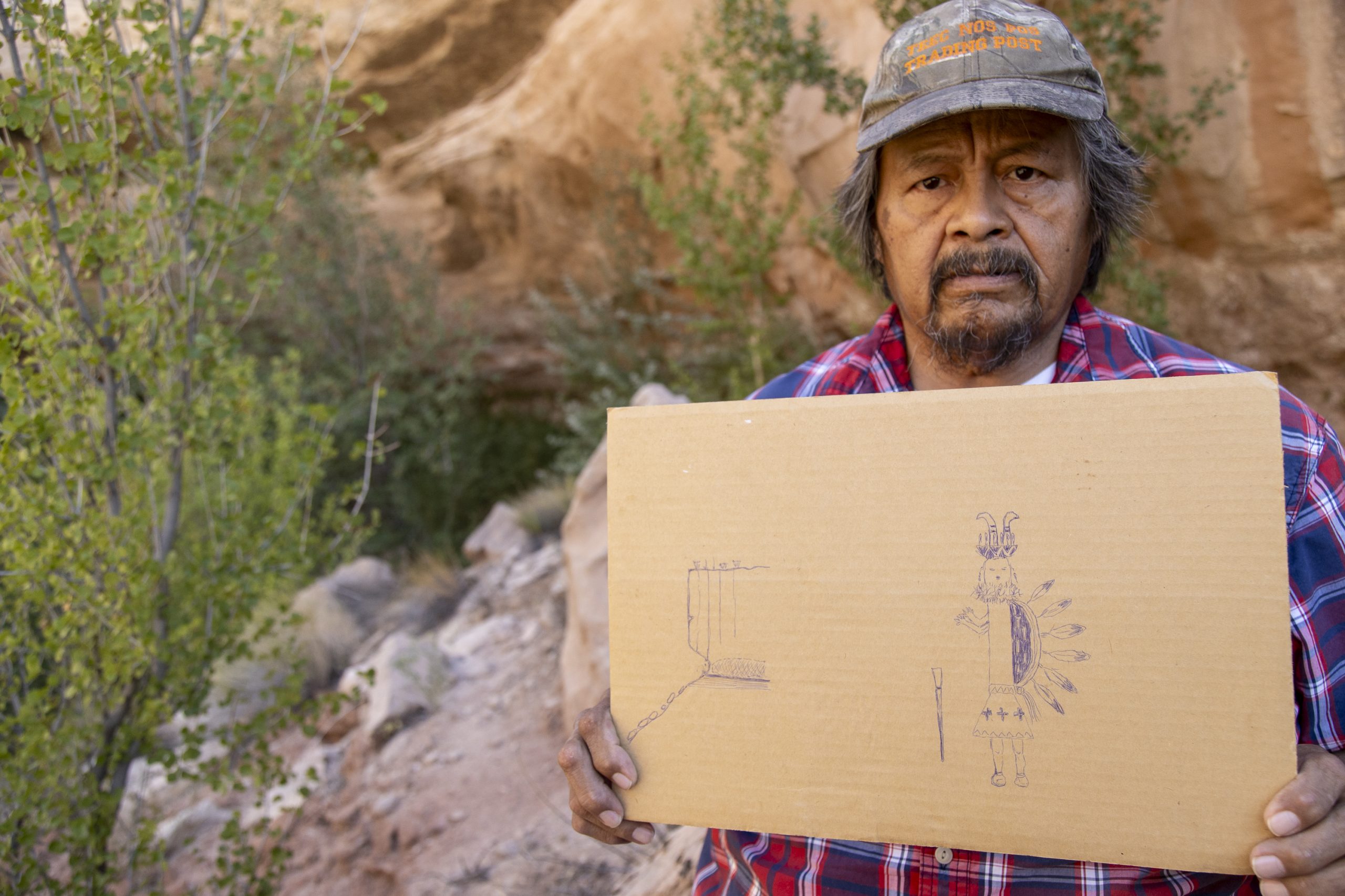
Across the Southwest, Indigenous people have refueled at springs during long migrations, gathered resources, quenched their thirst, hunted animals. But these places are important to them for other reasons, too. Clifford points to the back wall of a massive butte. “Inside live deities that we call the humpback gods, Yébîchai in Navajo, that’s very important to the Navajo teachings of the Nightway chant,” a traditional healing ceremony, he says. Each plant in the hanging garden has a Navajo name and medicinal use. “These hanging garden plants are used as tobaccos, medicinal plants, and also ceremonial plants,” Clifford says, as a hummingbird sips from a red monkeyflower behind him.
Springs have long nurtured humans. It is past time that humans should nurture them. People like Clifford, Stevens, Springer, and Voehl are making a difference across the Southwest by trumpeting springs’ importance to plants, animals, and humanity. Making these invisible places visible, says Stevens, “is the first step to preserving them.”
Hi, I’m Dave, the executive director of bioGraphic. (And that’s my dog, Finn.) Thanks for taking the time to read this story.
Stories like this simply don’t get produced without financial support from readers like you. bioGraphic is not backed by a private company or owned by a billionaire. It’s an independent, nonprofit magazine. And one-quarter of our annual budget comes directly from reader donations.
We need your support more than ever, as governments slash funding for conservation and scientific research, placing even more ecosystems and wildlife at risk around the world. At bioGraphic, we’re steadfastly shining a light on the threats to our planet’s incredible biodiversity. And we’re showcasing the hard work of people bravely taking action to protect at-risk species.
bioGraphic publishes environmental reporting that you can’t find anywhere else: deeply researched, trustworthy stories that are also beautiful and captivating to read. We offer an antidote to reader apathy and doom-and-gloom news by revealing the wonders of the natural world and focusing on real solutions to big problems. When you finish a bioGraphic story, we want to leave you feeling informed, delighted, and inspired.
We don’t run ads or hide our stories behind a paywall. The readers who generously support bioGraphic allow our work to remain free for everyone.
Will you help us keep telling these crucial stories?

Related Articles
The Trouble with Tamarisk
Twenty-five years ago, land managers unleashed a beetle to control an invasive tree sucking rivers dry. But water levels haven’t risen—and the real villains are still causing trouble.
Death by a Thousand Dams
Tens of thousands of small barriers hamper fish recovery in the northeastern United States. But while the demolition of big dams out west gets the most attention, a similar revolution is revitalizing northeastern streams and rivers—one tiny dam at a time.
The Unwilding of Patagonia’s Pollinators
In a region synonymous with wilderness, native bumblebees are being replaced by industrial worker bees—and ecosystems are paying the price.